
Improved Efficiency
Increase the efficiency of your geographic information collection and streamline data processing using drone solutions
Manage complex projects with regular maps of your sites.


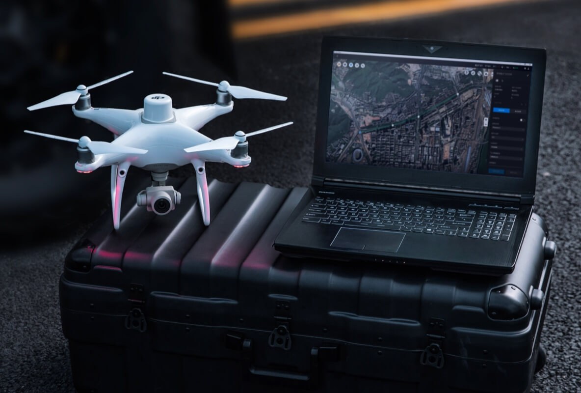
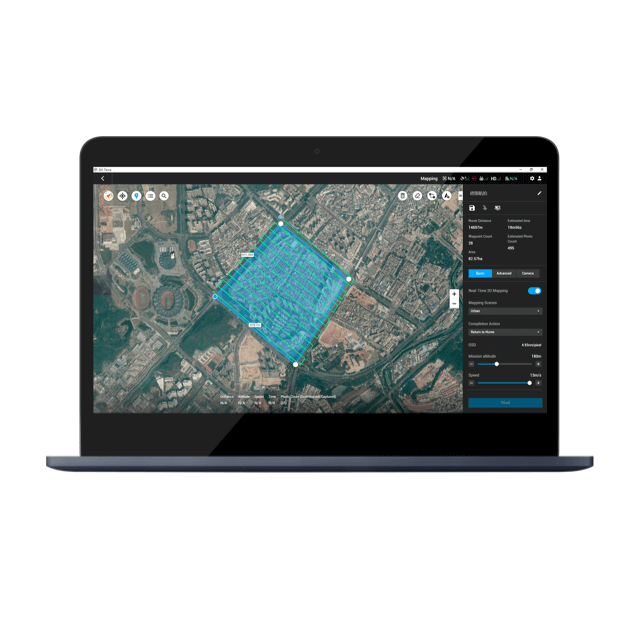
Drone solutions collect accurate, geo-tagged data quickly, while photogrammetry software processes these data to deliver standardized outputs.
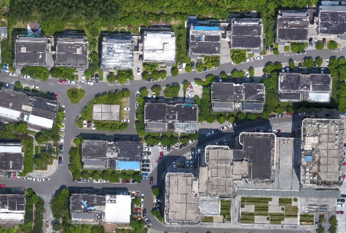
Drone data creates accurate 2D and 3D models that integrate seamlessly with local geographic information systems, helping teams visualize results.
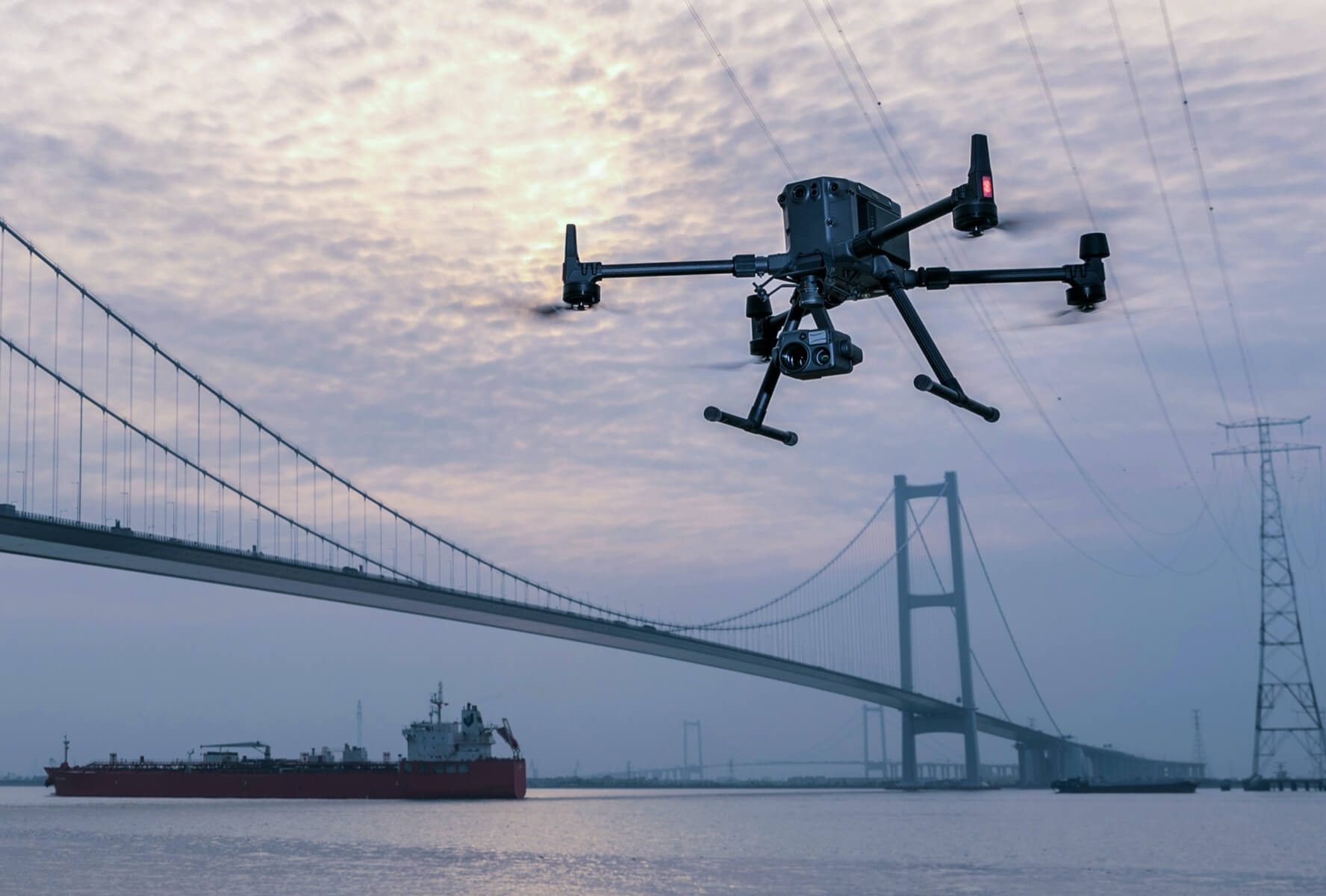
Drone-powered site surveys generate accurate data that informs construction projects from design to delivery.
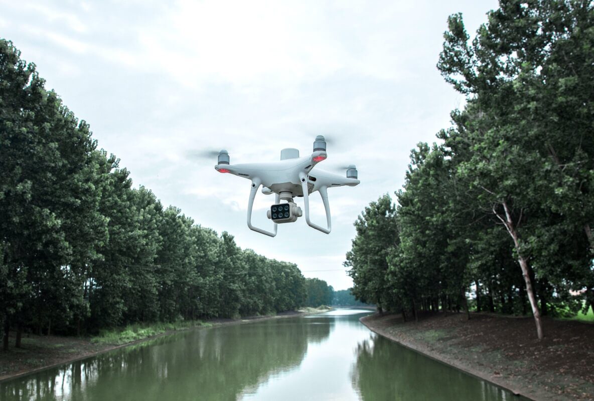
Drones enable large-scale, detailed surveys of natural resources, providing accurate maps and models as well as telemetry data.

Welcome to the authorized DJI Enterprise dealers of Sri Lanka